
abstract
Jan 1, 2026
abstract
Oct 29, 2025
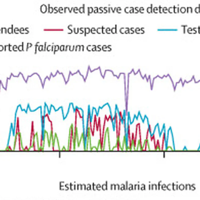
Routine surveillance is a pillar of malaria programmes, and the primary source of data used for decision making. However, any inference when relying on routine data to inform decision making is limited by how effective the system is at measuring the actual malaria burden. Here, we aimed to extend the Freedom From Infection (FFI) framework to produce species-specific estimates of surveillance system sensitivity and probability of freedom from malaria, combine multiple surveillance components including community case management and active case detection, and apply the FFI model in five malaria eliminating settings.
Aug 20, 2025
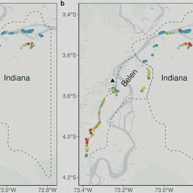
This study in low transmission areas of Loreto, Peru, examines the relationship between malaria exposure and proximity to health facilities. Findings show significant seropositivity rates for P. falciparum and P. vivax, with higher exposure in villages farther from healthcare centers, and identified spatial hotspots.
Feb 2, 2024
Dec 7, 2022
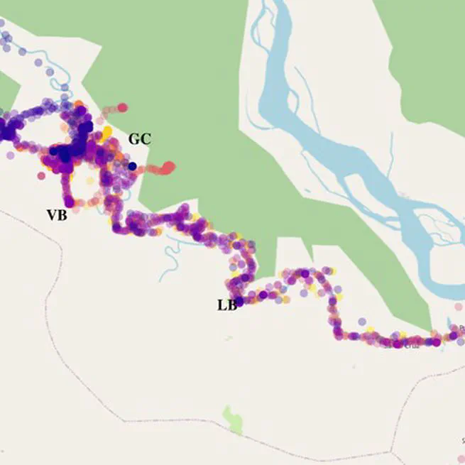
The study explores the impact of human population movement (HPM) on malaria risk in the Peruvian Amazon using travel surveys, GPS trackers, and Bayesian models. It reveals that riverine community connectivity due to work, trade, and family sustains high malaria transmission, offering evidence to adapt control programs.
Jul 20, 2022

The study demonstrates the use of drone-based multispectral imaging to identify malaria vector larval habitats with high accuracy. This innovative approach supports targeted interventions, improving resource allocation for malaria control efforts.
Sep 24, 2020
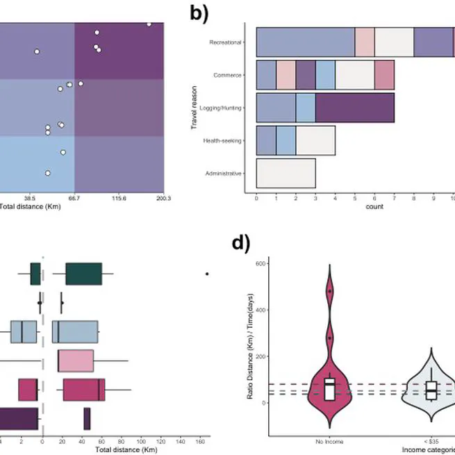
The article explores the use of an open-source mobile mapping tool to trace human mobility in rural offline populations with differing malaria dynamics. It highlights the tool's potential for understanding movement patterns to inform targeted malaria control strategies.
Jan 22, 2019
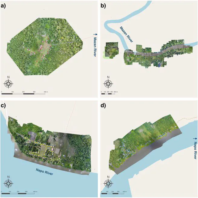
The study demonstrates the use of drone-based multispectral imaging to identify malaria vector larval habitats with high accuracy. This innovative approach supports targeted interventions, improving resource allocation for malaria control efforts.
Jan 17, 2019

Peru’s Ministry of Health and the region of Junin’s government joined efforts to improve the quality of immunization registries in the campaign against yellow fever, oriented to protect susceptible populations in the provinces of Chanchamayo and Satipo (where an outbreak had occurred), using an application in Open Data Kit (ODK) on Android mobile devices.
Dec 1, 2016